Survey-grade eyes, all-weather endurance
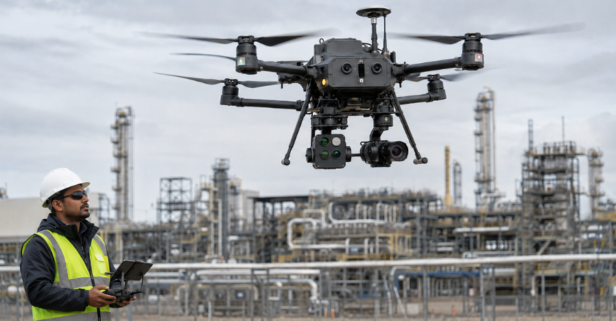
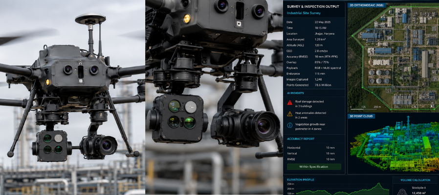
An industrial drone system carrying multi-spectral and oblique imaging with RTK-PPK GNSS at 10 mm accuracy, a 30× all-weather optical zoom for inspection, and over 115 minutes of endurance while flying any two payloads at once.
The payload stack
Built for work, not footage — every payload maps to an industrial job.
Where it earns its keep
Survey and GIS capture, infrastructure and asset inspection, perimeter and site monitoring, and campus or city operations — including flying as a sensor of the Smart Campus & City Platform.
On mission
Operating as part of large campus and industrial deployments.
Questions? You’re covered
We are always ready to help you and answer your questions